Estuaries: Where a River Meets the Sea
At the mouth of a river, fresh water and salt water share the same channel for a while, and from the air you can often tell which is which.
River water carries silt, sea water carries salt, and the two do not mix as readily as you might expect. Fresh water is lighter, so where a river enters the sea it often slides out over the top as a brown or khaki layer, while the clearer, denser seawater pushes inland underneath along the bottom. From a plane above a large delta the boundary can be surprisingly sharp: a line where tan turns to green or blue, sometimes running for kilometres along the coast before the waves smear it out.
The shapes are set by the tide. In most places the sea climbs into the channel twice a day and drains out twice a day, and the sand and mud left behind are cut into branching creeks that look like the veins of a leaf, or the roots of a tree laid on its side. At low water these creeks shine against darker flats; at high water they vanish and the whole mouth becomes one sheet of reflected sky. Salt-marsh grass grows only above a certain height relative to the average tide, which gives the edge of many estuaries a level, almost ruled border.
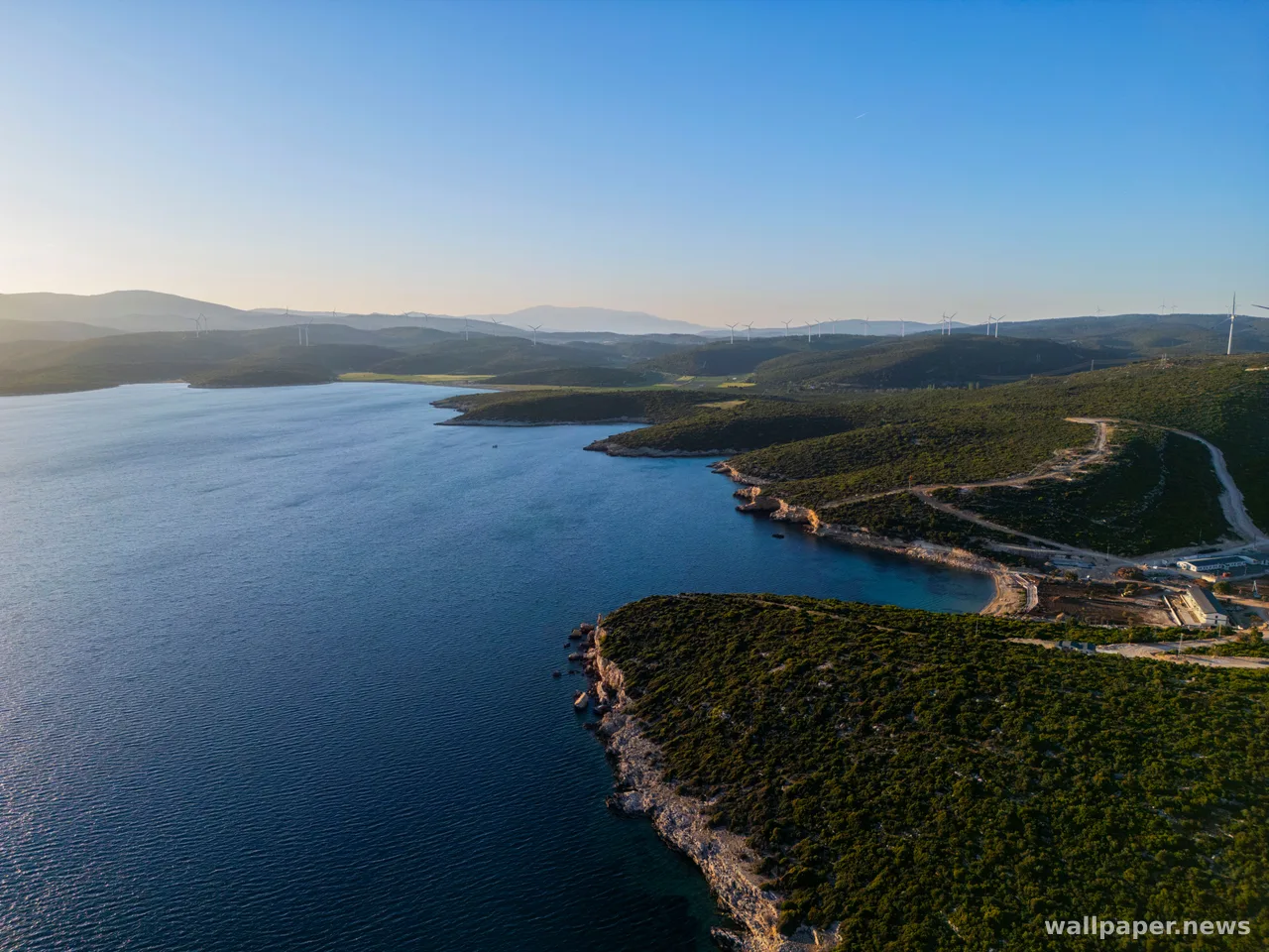
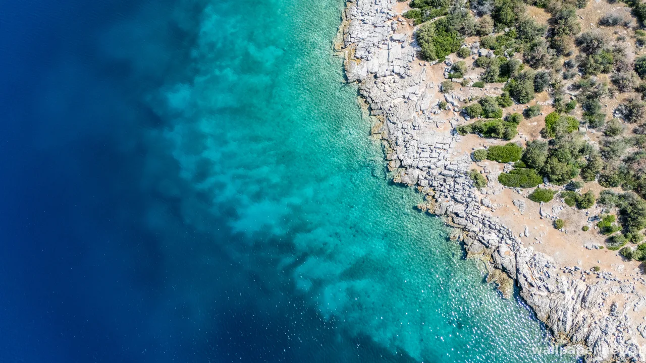
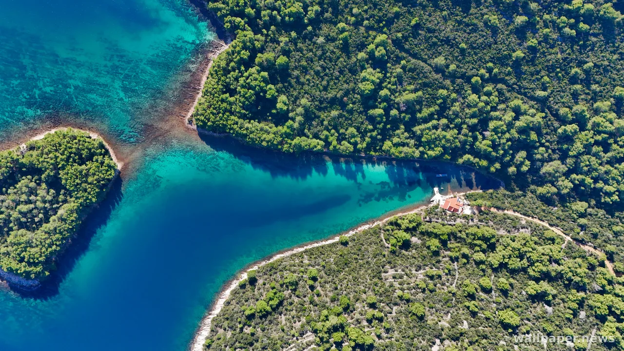
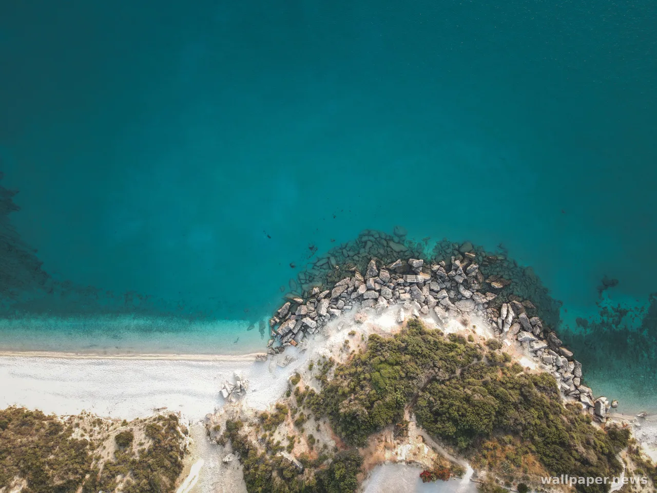
Aerial photographs of river mouths tend to hold two palettes at once, the earth tones the river brings down and the cool colours the sea brings in, divided by a seam that is never quite still. Behind a desktop that seam works like a soft horizon turned on its side, firm enough to give the screen a structure and loose enough that icons can sit on either colour without a fight.