Snow in the Air: Dots or Streaks
Falling snow drops slowly enough that the shutter gets to decide what it looks like.
A snowflake comes down at roughly one metre per second; a raindrop falls about nine times faster. That sluggishness is what makes snow the one weather a camera can negotiate with. At 1/500 of a second every flake freezes into a separate white speck with its own edge, and the air between the trees looks full of paper punchings rather than weather.
Open the shutter and they stretch. Near 1/30 each flake draws a short dash, at half a second the dashes braid into pale threads and the branches behind them sharpen up again, and after a few seconds the snow has dissolved into a grey veil that reads as fog. Flash goes wrong in the other direction: a flake a hand's width from the lens sits far outside the focus range and returns as a bright white disc, bigger on the file than the pine it was falling past.
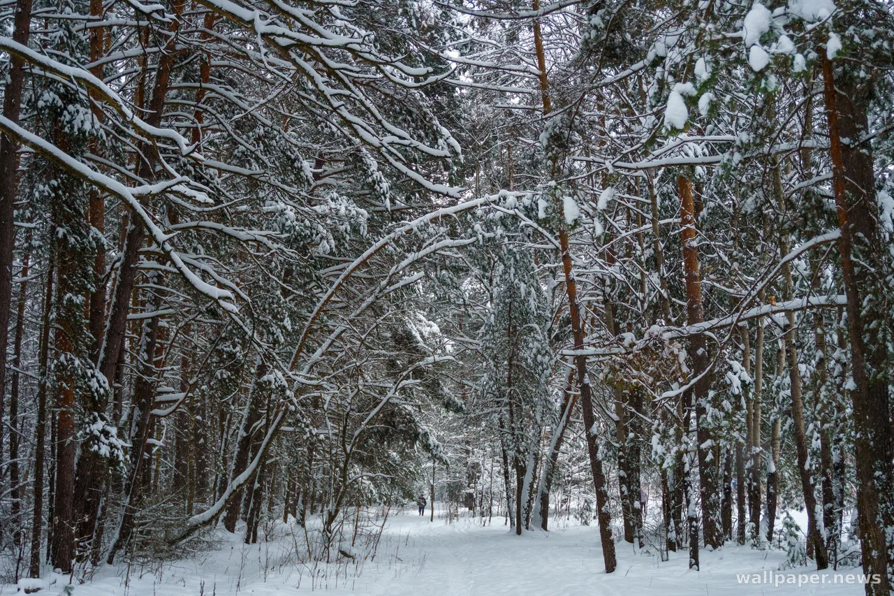
Then there is what all that suspended water does to distance. Every flake between the lens and the far ridge bounces a little light back, so contrast falls off with depth and the woods retreat in grey steps like stage flats. On a screen the difference is practical: sharp white specks on a dark background get mistaken for dust on the panel or dead pixels, while the same snowfall at a slower shutter arrives as texture — quiet enough to leave the icons legible, and still unmistakably winter.